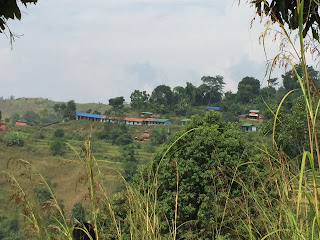
Lamjung District (Nepali: लमजुङ जिल्ला  Listen (help·info)), a part of Province No. 4, is one of the seventy-five districts of Nepal, a landlocked country of South Asia. The district, with Besisahar as its district headquarters, covers an area of 1,692 square kilometres (653 sq mi) and as of 2011 had a population of 167,724.[1] Lamjung lies in the mid-hills of Nepal with spanning from tropical to trans-himalyan geo-ecological belts,including the geographical midpoint of the country(ie.Duipiple). It has mixed habitation of different cast and ethnicity - host probably the highest density of Gurung ethnic population in the country.
Village Development Committees (VDC/s
- Archalebot
- Bahundanda
- Bajhakhet
- Balungpani
- Bangre
- Bansar
- Besisahar Municipality
- Bhalakharka
- Bharte
- Bhoje
- Bhorletar
- Bhotewodar
- Bhujung
- Bhulbhule
- Bichaur
- Chandreshwar
- Chiti
- Dhamilkuwa
- Dhodeni
- Dhuseni
- Dudhpokhari
- Duradanda
- Phaleni
- Gauda
- Ghanpokhara
- Ghermu
- Gilung
- Hiletaksar
- Ilampokhari
- Ishaneshwar
- Jita
- Karapu
- Khudi
- Kolki
- Kunchha
- Maling
- Mohoriyakot
- Nalma
- Nauthar
- Neta
- Pachok
- Parewadanda
- Pasagaun
- Puranokot
- Pyarjung
- Rangha
- Samibhanjyang
- Sri Manjyang
- Simpani
- Sindure
- Sundarbazar Municipality
- Suryapal
- Taghring
- Tandrang
- Tarku
- Tarkughat
- Tinpiple
- Uttarkanya


